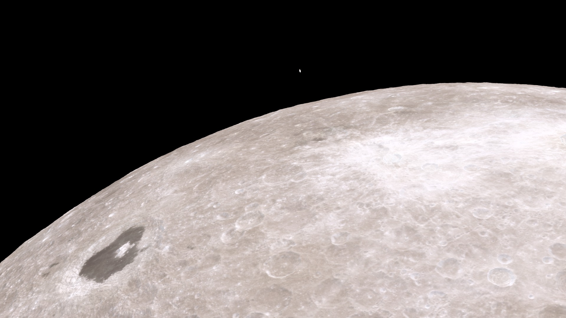
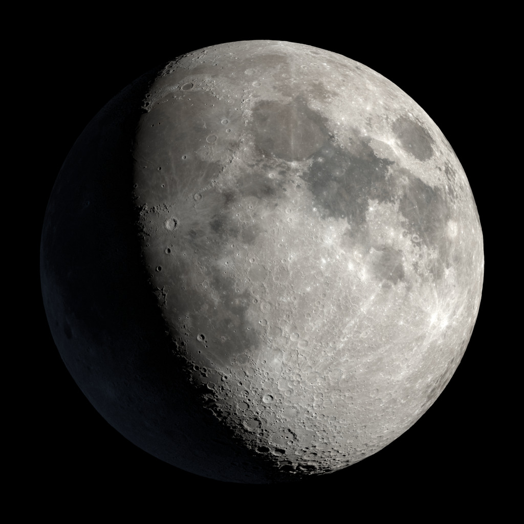
This is an independent NASA Space Apps 2026 project and not an official NASA product. Lunar imagery is credited to NASA’s Scientific Visualization Studio and the Lunar Reconnaissance Orbiter program. The connected tools calculate Sun and Earth geometry using the project’s NAIF SPICE backend. Athena uses a saved LOLA terrain horizon; supported custom south-polar coordinates can request an on-demand LOLA profile. Other locations use a labelled flat horizon. Visibility windows report their sampling interval. Landing safety requires separate assessment.
Scientific Specifications & Data Sources
- Planetary Reference Frame
- Observation vectors are computed in the IAU
MOON_ME_DE440_ME421 mean Earth/polar axis selenographic reference frame with mean lunar radius R = 1737.4 km and planetocentric east-positive selenographic coordinates.
- Ephemeris Toolkit
- Generated with NASA/JPL NAIF SPICE using
de440s.bsp, naif0012.tls, pck00011.tpc, moon_pa_de440_200625.bpc, and moon_de440_220930.tf.
- Topographic Horizon Modeling
- Athena’s profile evaluates 720 azimuthal bins at 0.5° intervals, using the south-polar LOLA 80 m DEM. The profile extends 40 km and assumes a 2 m observer height.
- Visual Mapping
- The NASA SVS CGI Moon Kit supplies LROC-derived color and LOLA displacement maps for visual context.
- Preliminary Orbital Mechanics
- Trip transfers use an Earth-centered, short-way Lambert solution with date-based DE440 endpoints. The arrival reference is 1,000 km above the Moon’s Earth-facing side. Ascent, capture, and landing require separate models.
Academic & Technical Citations
- Acton, C., et al. (2018). A look towards the future in the handling of space science mission geometry. Planetary and Space Science, 150, 9–12. doi:10.1016/j.pss.2017.02.013
- Smith, D. E., et al. (2017). Summary of the results from the Lunar Orbiter Laser Altimeter after seven years in lunar orbit. Icarus, 283, 70–91. doi:10.1016/j.icarus.2016.06.006
- Park, R. S., et al. (2021). The JPL Planetary and Lunar Ephemerides DE440 and DE441. The Astronomical Journal, 161(3), 105. doi:10.3847/1538-3881/abd414